Epirus
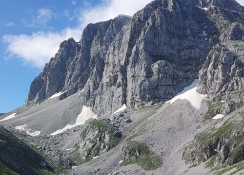
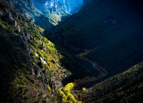
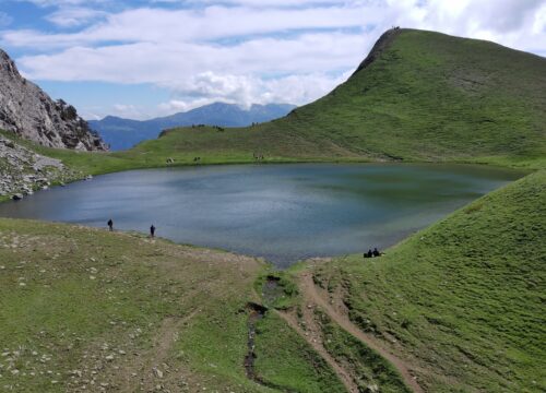
Epirus is a predominantly rugged and mountainous region. It is largely made up of the Pindus Mountains, a series of parallel limestone ridges that are a continuation of the Dinaric Alps.[1][11] The Pindus mountains form the spine of mainland Greece and separate Epirus from Macedonia and Thessaly to the east. The ridges of the Pindus are parallel to the sea and generally so steep that the valleys between them are mostly suitable for pasture rather than large-scale agriculture.[1] Altitude increases as one moves east, away from the coast, reaching a maximum of 2,637 m at Mount Smolikas, the highest point in Epirus. Other important ranges include Tymfi (2,496 m at Mount Gamila), Lygkos (2,249 m), to the west and east of Smolikas respectively, Gramos (2,523 m) in the northeast, Tzoumerka (2,356 m) in the southeast, Tomaros (1,976 m) in the southwest, Mitsikeli near Ioannina (1,810 m), Mourgana (1,806 m) and Nemercke/Aeoropos (2,485 m) on the border between Greece and Albania, and the Ceraunian Mountains (2,000 m) near Himara in Albania. Most of Epirus lies on the windward side of the Pindus, and the prevailing winds from the Ionian Sea make the region the rainiest in mainland Greece.[1]
Most Popular Tours
QUISEQUE VEL ORTOR
Ready to adventure and enjoy natural


